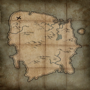
This page provides information on various maps concerning The Elder Scrolls V: Skyrim.
General Maps[edit]
- Skyrim Satellite Map — Our high resolution Skyrim map using the Google Maps API.
- Old Skyrim Satellite Map — An older version of our map, compatible with the Steam Overlay, with semi-reliable resource markers not present in the newer map
- Dragonborn Satellite Map — Our high resolution Solstheim map using the Google Maps API.
- UESP Skyrim roadmap — A simplified guide to Skyrim's many paths and tracks, as a flat image. Select locations are marked.
- GameBanshee's Skyrim Map
- Skyrim Interactive Map with all locations
- Modmapper: interactive map of all Skyrim SE mods
- Concept Map — Planned map layout before production
- Early Development Map — Progress map with notes early in development
- Late Development Map — Progress map with different notes later in development
These are the icons used on the in-game map.
On the compass and map, white locations are places you have previously visited (and therefore may fast travel to), and those in black are undiscovered. Only the icons of places you've been to or you've heard about will show up on your map.
- In each Longhouse or Palace used by the Jarls there is a map depicting the present political climate in Skyrim. The red icons mark the current Imperial Legion-aligned settlements and forts, while the blue flags mark Stormcloak-aligned areas. The flags are meant to update when a hold changes hands, but occasionally they do not change.
- Pressing "Activate" on any interactable part of this map will show its location on your map if you haven't discovered it yet.
- An additional map without any map markers can be found in the basement of the Sleeping Giant Inn in Riverwood.
- Your current area will occasionally be shown as a blue rectangle when zooming out to the world map.
- Areas of the local map that were previously mapped may unmap themselves. The unmapped areas will be in rectangular shapes.
See Also[edit]

